


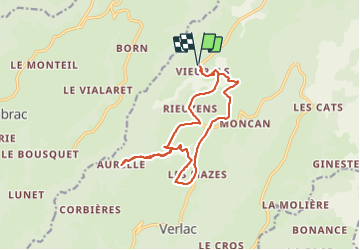

7.8 km | 10.5 km-effort


User


FREE GPS app for hiking
 SityTrail
IGN / Geographical institutes
SityTrail World
The world is yours!
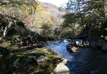
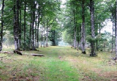
Trail Walking of 15.8 km to be discovered at Occitania, Aveyron, Saint Geniez d'Olt et d'Aubrac. This trail is proposed by edouard_bieber.

Nordic walking
Walking
Snowshoes
Walking
Equestrian

Mountain bike

Mountain bike
Mountain bike

Walking